JCO among 4 soldiers hurt in landmine blast along LoC in Rajouri
Synopsis
Four Indian Army personnel, including a JCO, were injured when a drift mine detonated during a routine patrol in Rajouri's Nowshera sector on 16 June — the same day a suspected Pakistani drone was spotted over the Sunderbani sector nearby. The twin incidents highlight the compounding hazards on one of the LoC's most active stretches.
Key Takeaways
A JCO and three soldiers were injured in an accidental landmine explosion in the Kalal area, Nowshera sector, Rajouri on 16 June .
The blast was caused by a drift mine — a landmine displaced from its original position by rainwater during an area domination patrol.
All four injured personnel were immediately evacuated to hospital for treatment.
A suspected Pakistani drone was sighted the same day over forward villages in the Sunderbani sector ; a cordon-and-search operation found no objectionable items.
J&K's LoC stretches 740 km across Baramulla, Kupwara, Bandipora, Rajouri, Poonch, and Jammu; the international border adds another 240 km .
High-tech anti-drone equipment deployed by the Army and BSF has reportedly reduced cross-border drone operations significantly.
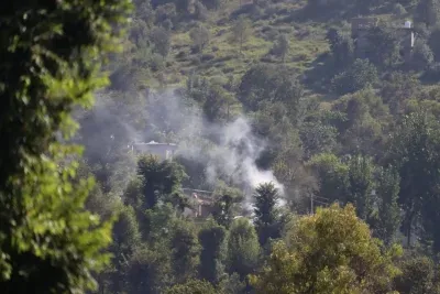
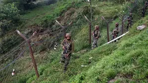
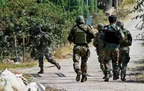
A Junior Commissioned Officer (JCO) and three soldiers were injured on Tuesday, 16 June when a landmine detonated accidentally during an area domination patrol in the Kalal area of the Nowshera sector in Rajouri district, Jammu and Kashmir, according to officials. The four personnel were immediately evacuated to a hospital for treatment.
How the Blast Occurred
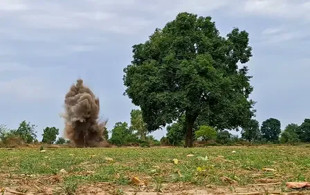
The explosion was triggered by the accidental activation of a landmine during a routine patrol in the forward zone. Officials explained that landmines deployed as part of the anti-infiltration grid along the Line of Control (LoC) sometimes shift from their original positions after being displaced by rainwater — a phenomenon known as 'drift mines'.
'A JCO and three soldiers were injured in the blast and were immediately evacuated to a hospital for treatment,' an official said. Drift mines, according to officials, account for the majority of accidental detonations affecting army patrols in forward areas.
The LoC Security Framework
Jammu and Kashmir has a 740-km long LoC spanning the Baramulla, Kupwara, and Bandipora districts of the Valley, as well as Rajouri, Poonch, and parts of Jammu district. An additional 240-km international border runs through Samba, Kathua, and Jammu districts, guarded by the Border Security Force (BSF).
Deployed forces along both boundaries work to prevent infiltration, exfiltration, smuggling, and drone activity. Drone operators on the Pakistani side of the border reportedly use unmanned aerial vehicles to airdrop arms, ammunition, cash, and narcotics — payloads that overground workers (OGWs) of terrorist outfits then collect and pass on to active militants in the region.
Drone Sighting in Sunderbani the Same Day
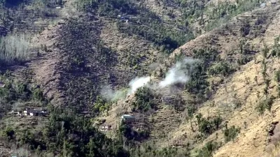
Separately, a suspected Pakistani drone was sighted on 16 June over forward villages in the Sunderbani sector of Rajouri, between Mahadev Gap and Kalal village. Security forces launched cordon-and-search operations to prevent any potential airdropping of weapons or narcotics, though no objectionable items were recovered.
This is consistent with a broader pattern of drone intrusions along the LoC. Indian Army troops routinely deploy counter-measures and open fire to neutralise aerial threats in sectors including Nowshera, Manjakote, and Teryath. The Army and the BSF have since deployed high-tech anti-drone equipment, which officials say has significantly reduced drone operations from across the border.
Pattern of Drift Mine Incidents
Tuesday's blast is not an isolated event. The forward areas of the LoC are densely mined as a counter-infiltration measure, and seasonal rains routinely displace these devices from their marked positions. The resulting drift mines pose an ongoing hazard to patrol teams operating in terrain that is difficult to continuously survey. The incident underscores the dual threat faced by forces in Rajouri — both from adversarial drone activity and from the legacy hazards of the anti-infiltration grid itself.
Point of View
But once displaced by seasonal rains, they become indiscriminate hazards for the very forces they are meant to protect. The Army has long acknowledged the drift mine problem, yet systematic de-mining or real-time tracking of displaced devices remains an unresolved operational gap. Paired with the same-day drone sighting in Sunderbani, the incident illustrates that Rajouri is under simultaneous pressure from legacy ground hazards and evolving aerial threats — a combination that demands more than incremental counter-measures.
NationPress
24 Sept 2026
Frequently Asked Questions
What caused the landmine explosion in Rajouri on 16 June 2025?
The explosion was caused by the accidental activation of a landmine during an area domination patrol in the Kalal area of the Nowshera sector in Rajouri. The device is believed to have been a drift mine — one displaced from its original position by rainwater — which is the leading cause of such accidental detonations in LoC forward zones.
How many soldiers were injured and what is their condition?
A Junior Commissioned Officer (JCO) and three soldiers were injured in the blast. All four were immediately evacuated to a hospital for treatment; no further details on their condition were available from officials at the time of reporting.
What is a drift mine and why is it dangerous?
A drift mine is a landmine that has been washed away from its original implanted position, typically by rain. Because its new location is unknown and unmarked, it poses an unpredictable hazard to army patrols operating in the same forward areas it was meant to protect.
What happened with the drone sighting in Sunderbani on the same day?
A suspected Pakistani drone was sighted on 16 June over forward villages in the Sunderbani sector of Rajouri, between Mahadev Gap and Kalal village. Security forces launched cordon-and-search operations but recovered no objectionable items.
How long is the Line of Control in Jammu and Kashmir?
The LoC in Jammu and Kashmir stretches 740 km, covering the Baramulla, Kupwara, and Bandipora districts of the Valley as well as Rajouri, Poonch, and parts of Jammu district. An additional 240-km international border in Samba, Kathua, and Jammu is guarded by the BSF.